September Uncurated: Art, Furnishings, and Estate Discoveries
Lot 175:
Sold for: $125
Description
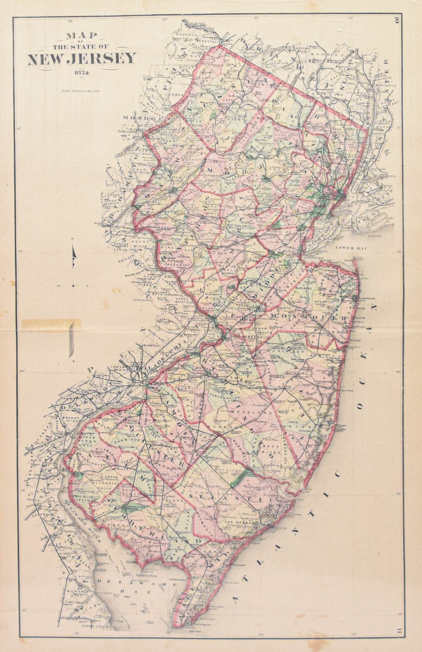
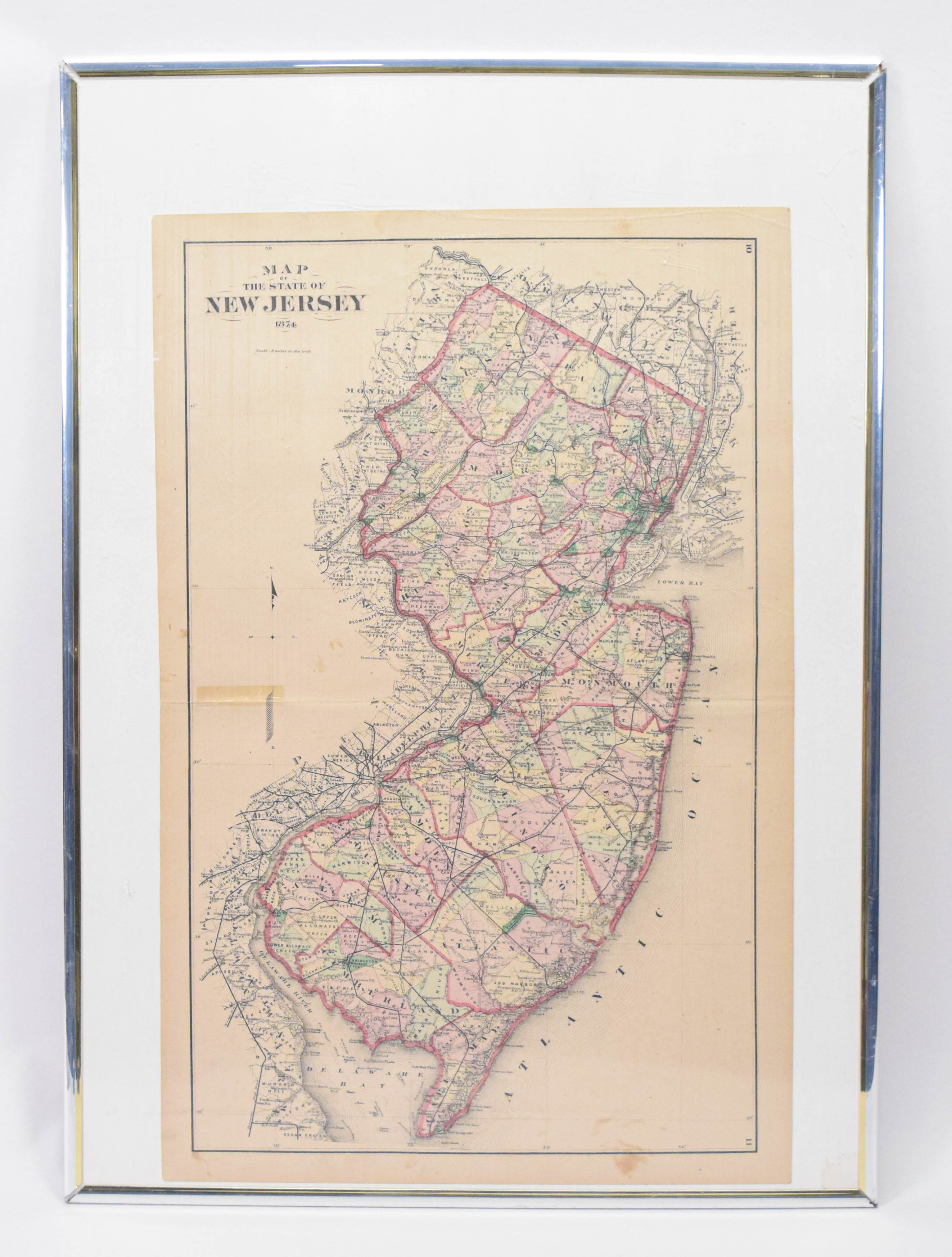
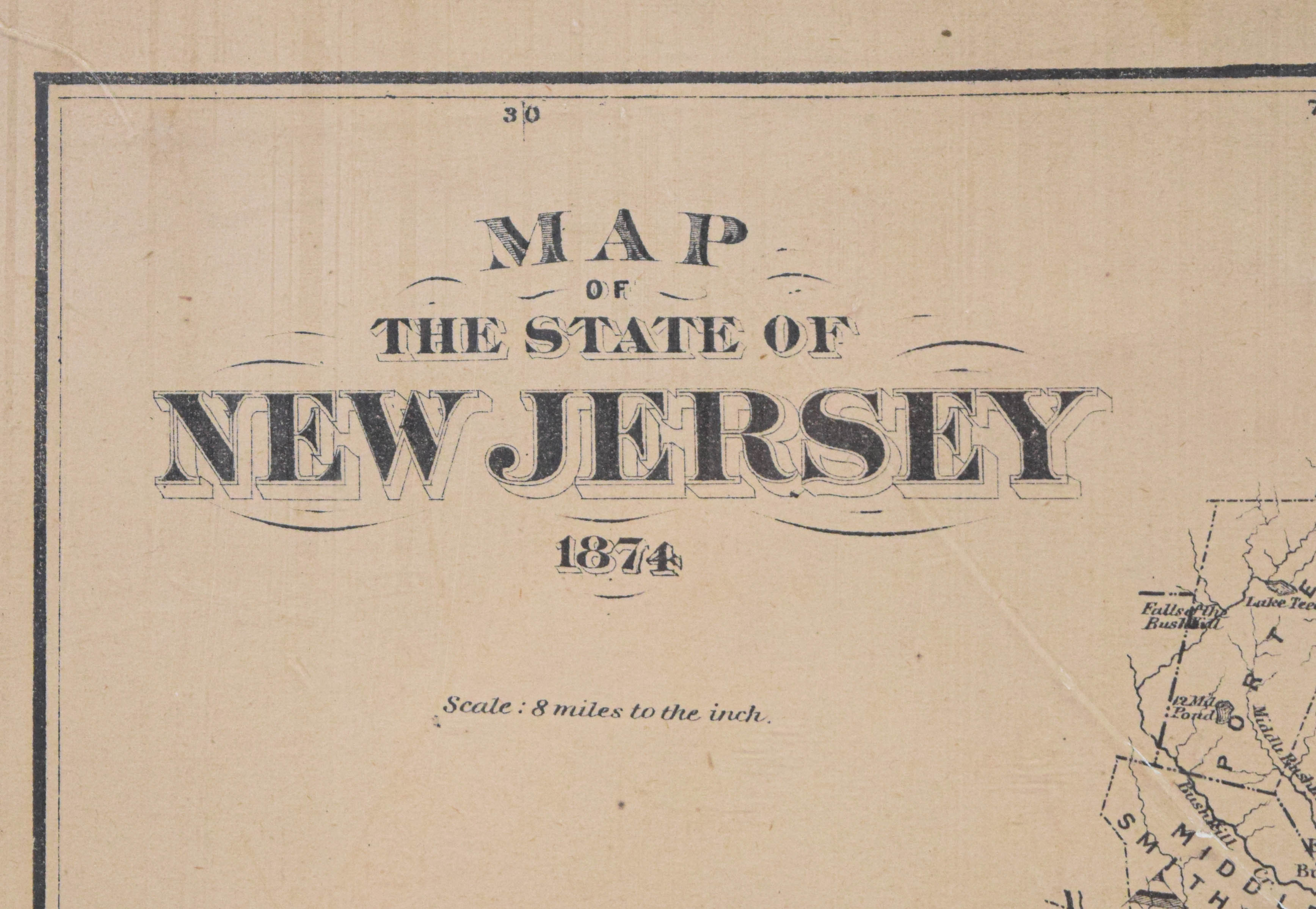
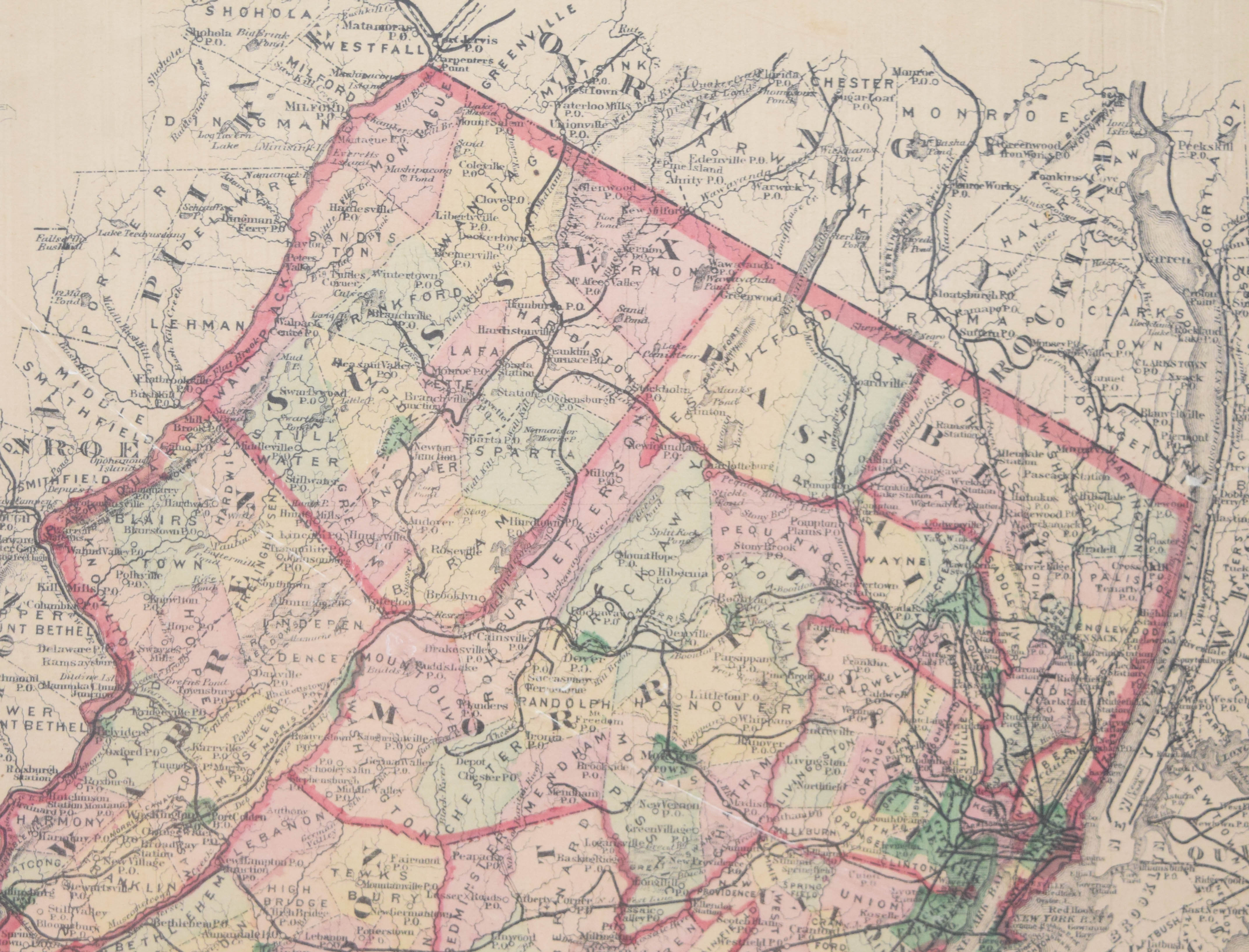
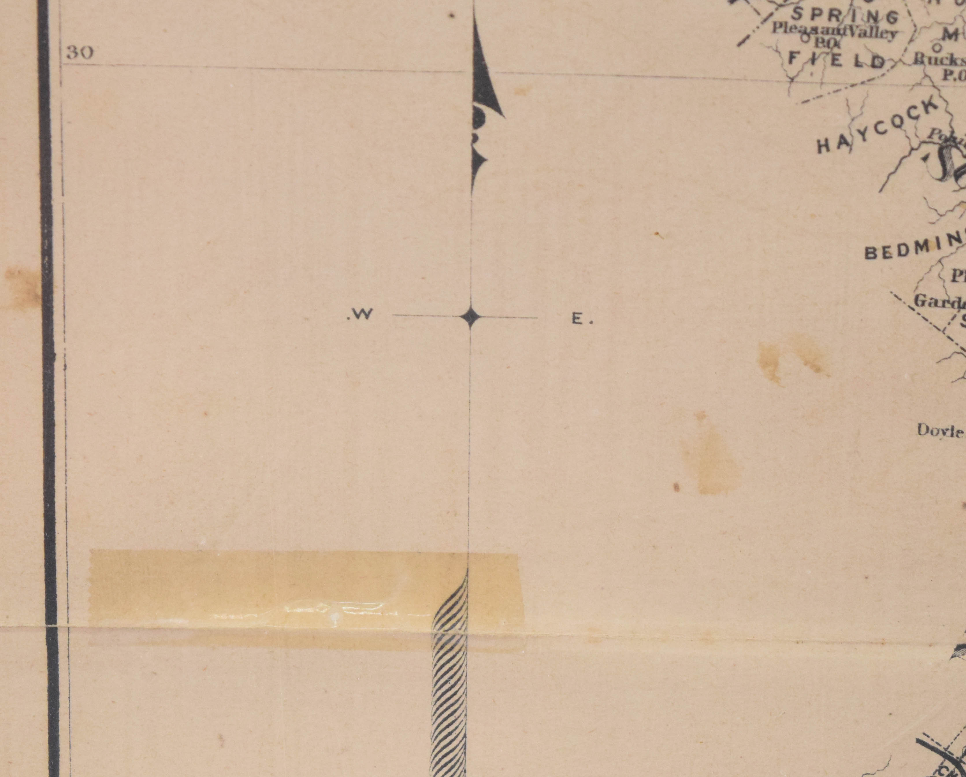
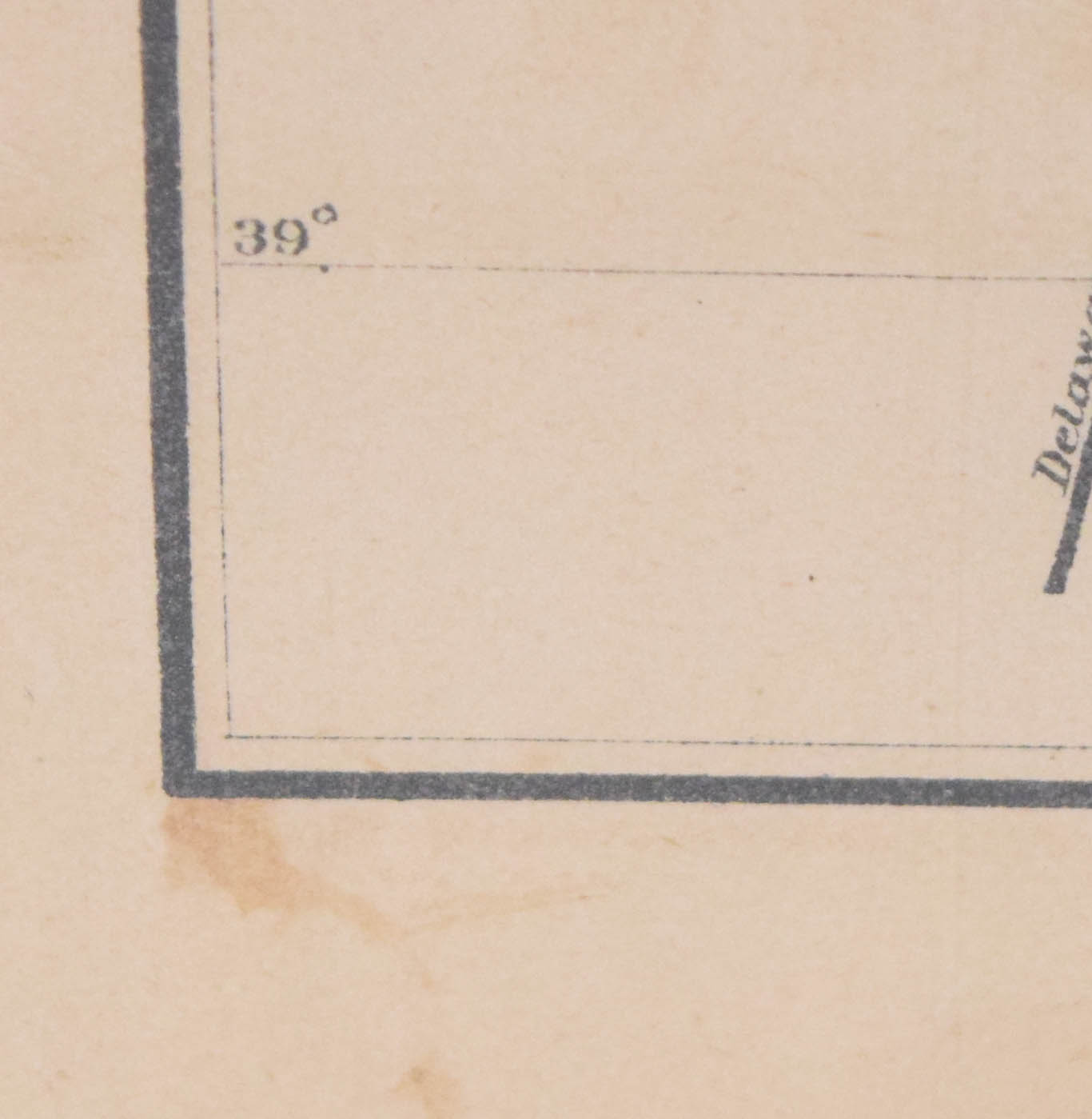
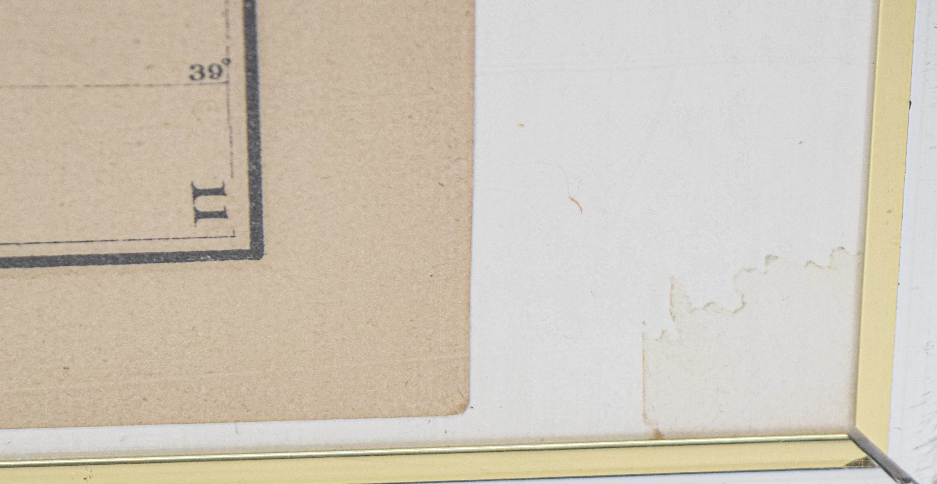
This late 19th-century lithographed map is titled Map of the State of New Jersey 1874. The map illustrates county and township boundaries across the state, delineated with hand-colored or printed pastel washes of pink, yellow, and green. It provides a detailed chorographic view, including an extensive network of railroads, post office locations, and geographical features such as rivers, inlets, and coastal contours. Based on the numerals 10 and 11 in the upper and lower right corners respectively, the sheet is identified as a leaf removed from a larger geographical atlas, likely one published by Beers, Comstock, and Cline of New York. The printing shows fine lithographic line work with dense labeling of municipalities and transport hubs. The map is presented in a modern silver-tone metal frame with a white overmat. The title block is located in the upper left corner, accompanied by a scale notation reading Scale : 8 miles to the inch.
Map (Sheet): 24 in x 15.5 in
Framed: 28.5 in x 20.5 in.
Location: Bin 4
Condition report:
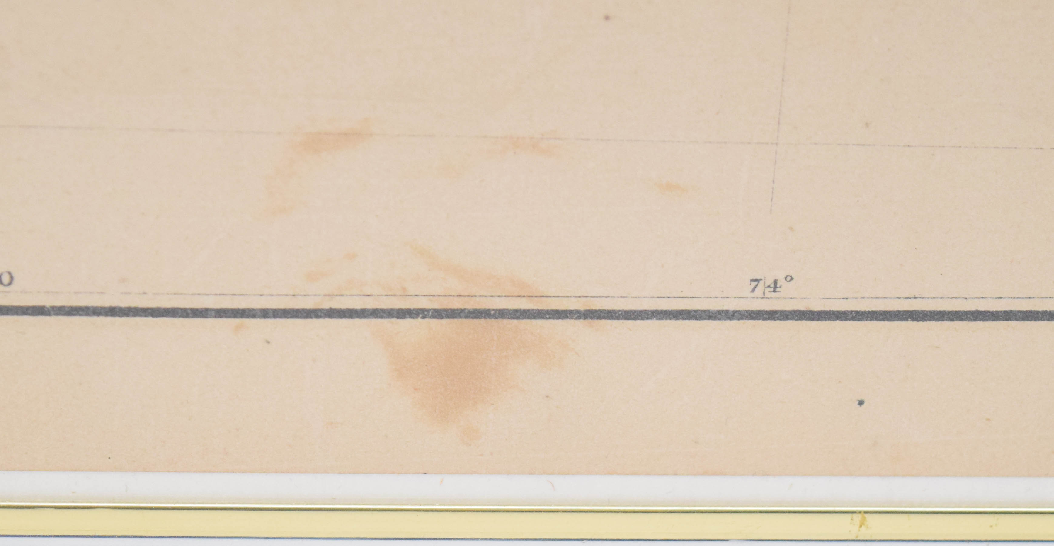
The map exhibits condition characteristics consistent with its age and original use in an atlas. There is visible overall paper toning and yellowing. A prominent horizontal center fold is present as issued from the original binding. Scattered foxing and moisture staining are evident, primarily along the lower edge and the central left margin. A piece of aged, yellowed adhesive tape is present on the left margin near the center fold. The sheet shows minor surface creasing and undulation. The matting displays light staining in the bottom right corner, and the metal frame has minor surface scuffs.
Share this lot: