The Peter Benchley Collection: Jaws, A Life of Writing, A Legacy of Ocean Conservation.
Lot 21:
Description
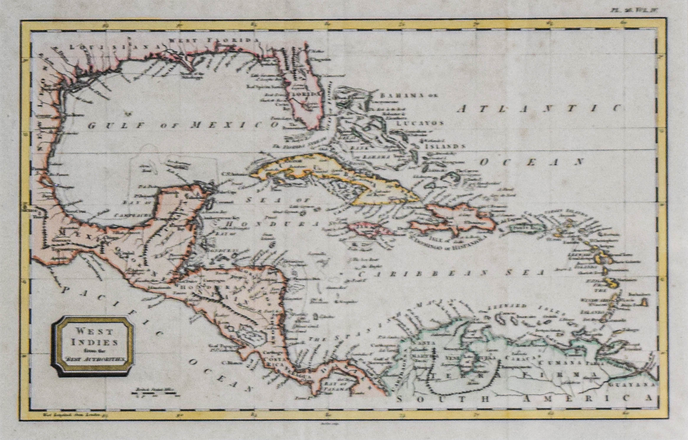
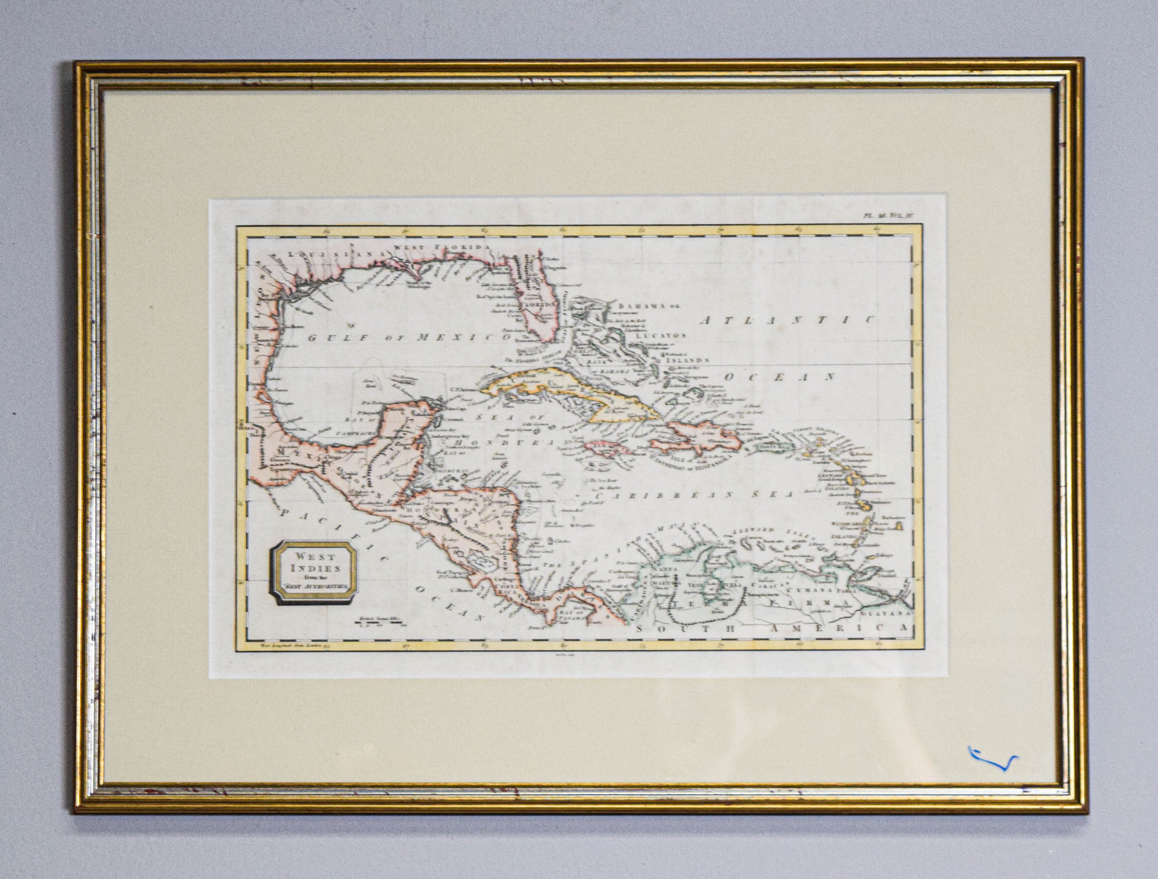
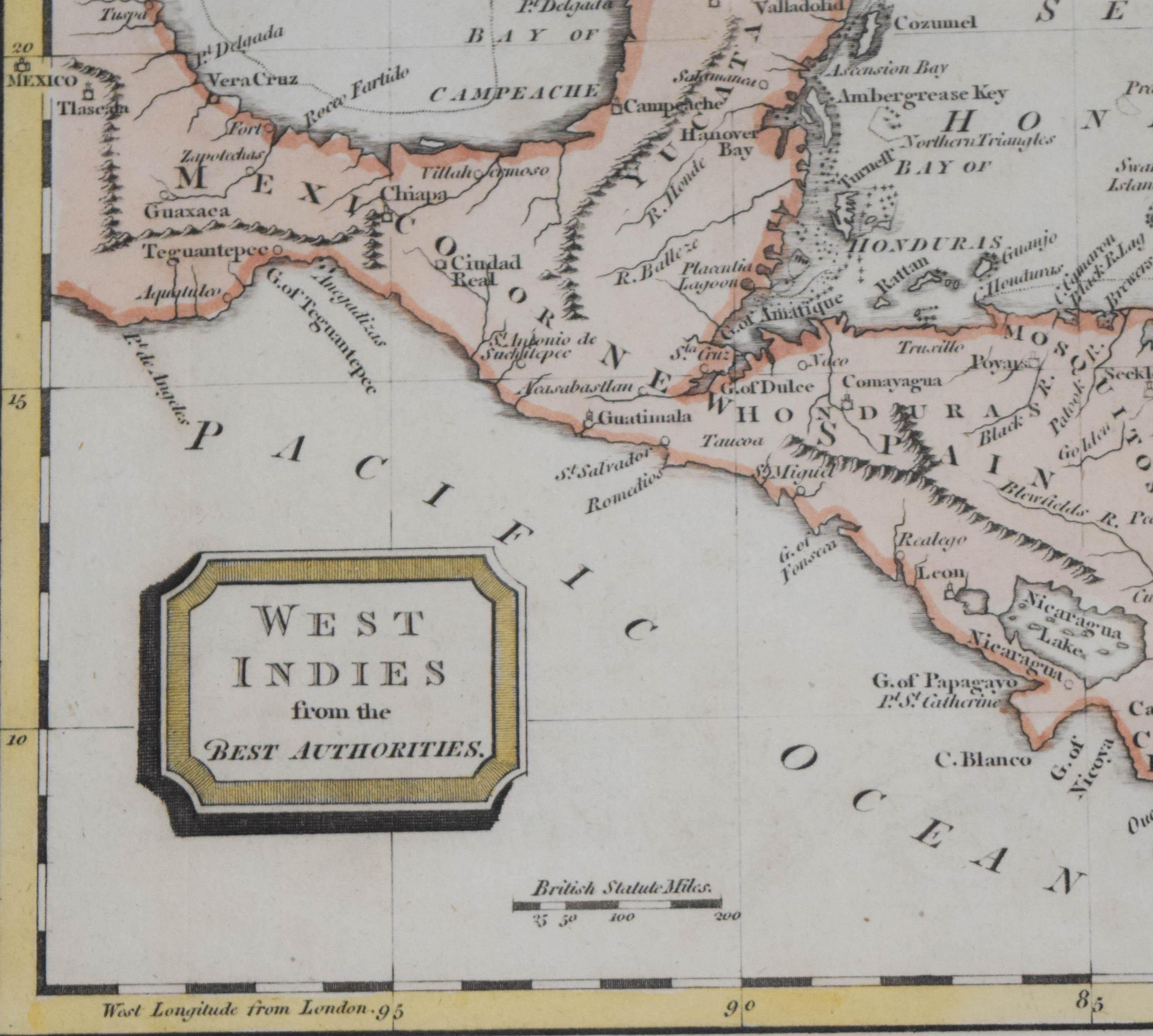
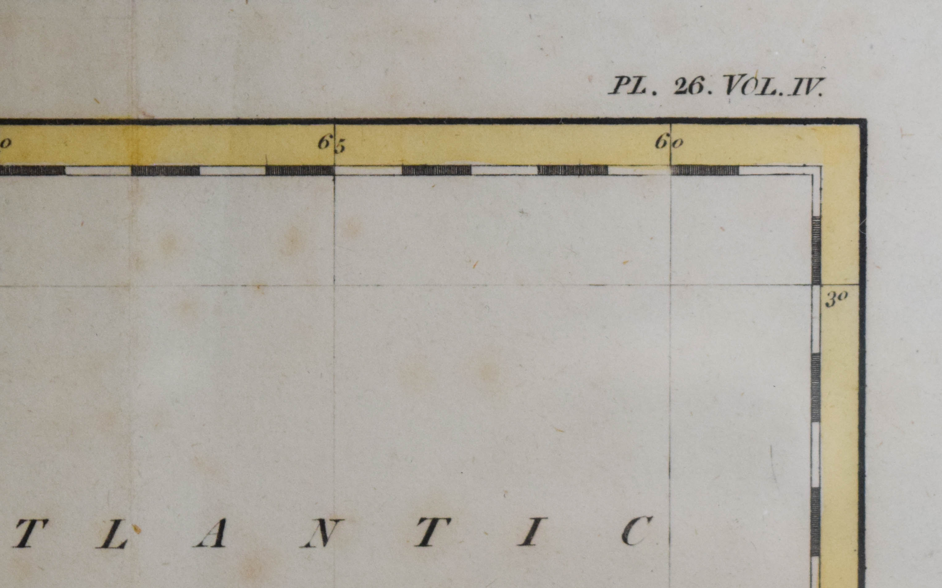
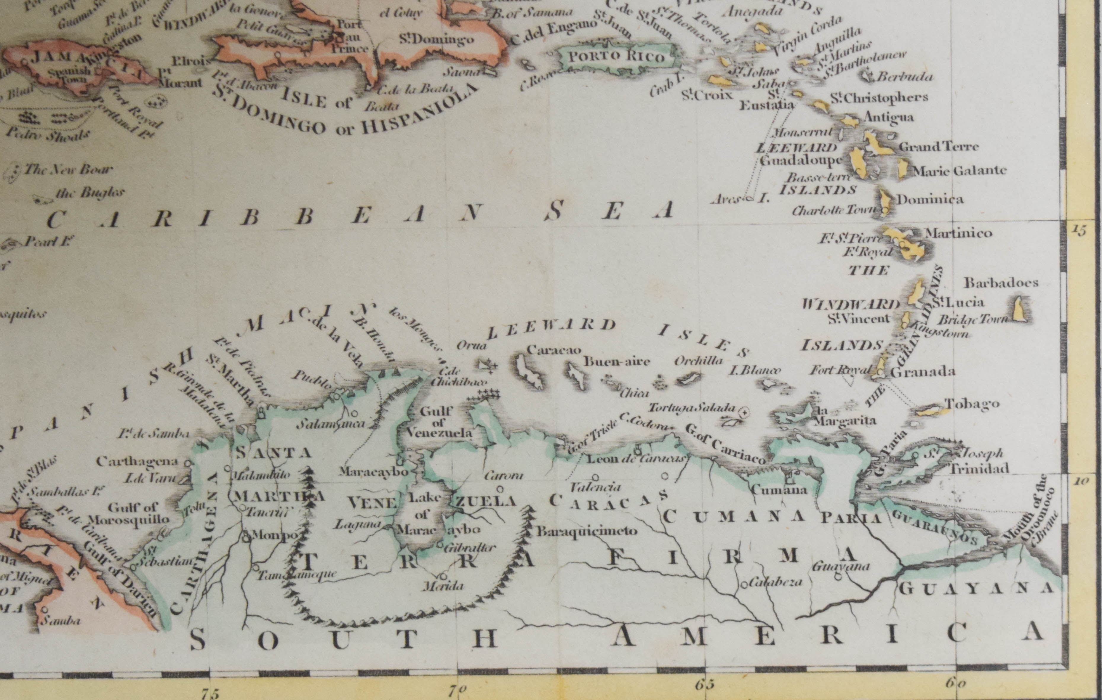
Hand-colored engraving, West Indies from the Best Authorities. This map illustrates the geography of the Gulf of Mexico and the Caribbean Sea, including Central America and the northern coast of South America. The print features hand-colored outlines in pastel pink, yellow, and green. A decorative title cartouche is situated in the lower-left corner, and a scale in British Statute Miles is positioned at the bottom center. The sheet includes a visible vertical center fold and the inscription PL. 26. VOL. IV. in the upper-right corner, indicating its origin as an atlas plate. Sight: 8 3/4 x 13 1/4 in. Frame: 13 3/4 x 18 1/4 x 3/4 in.
Antique Nautical Maps: Bellin, Münster, Seller, Harrison & Sons, and the West Indies
Peter bought these five maps together, as one collection, and hung them in the front hall of the Benchley home. He was riveted by how sailors navigated across the world hundreds of years ago with nothing but these charts, and the Caribbean and Bahamas waters they depict are the waters he dove for the rest of his life.
From the personal collection of Peter Benchley (American, 1940–2006), acclaimed author of Jaws, accomplished diver, and prominent advocate for ocean and shark conservation.
Proceeds from the Peter Benchley Collection will benefit five ocean conservation organizations: Peter Benchley Ocean Awards, WildAid, Beneath the Waves, Blue Frontier and Environmental Defense Fund.
Condition report:
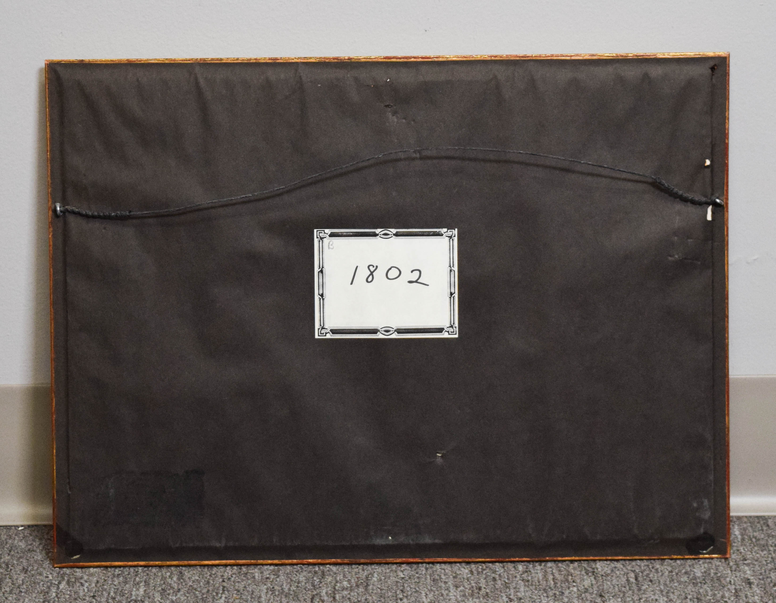
The print exhibits moderate toning and scattered foxing consistent with age, along with a visible vertical center fold line. The gold-toned frame shows significant chipping, scuffing, and finish loss along the edges. A blue marker marking is present on the surface of the glass in the lower-right corner.
Share this lot: